Volcano Live
volcanolive.com
Rabaul Volcano | John Seach

East New Britain Province, Papua New Guinea
4.271 S, 152.203 E
summit elevation 688 m
Caldera
Rabaul is one of the most active volcanoes in Papua New Guinea, and one of its most dangerous. It is located on the north eastern end of New Britain Island, and is the eastern most volcano in the Bismarck arc.
The caldera has an elliptical form (14 x 9 km) and is surrounded by a steep volcanic ridge several hundred meters high. The present shape of the caldera was caused by two periods of collapse.
Rabaul volcano photos by John Seach
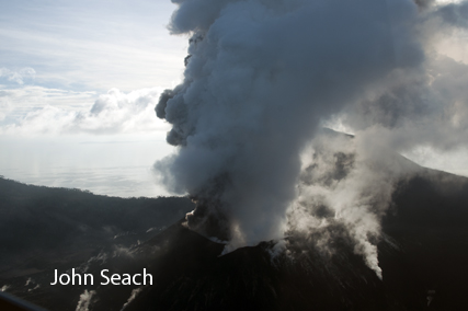
Rabaul eruption 2009
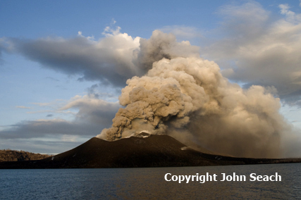
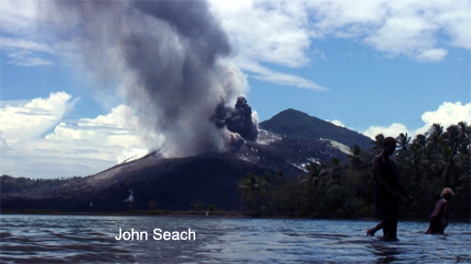
Rabaul eruption 2007
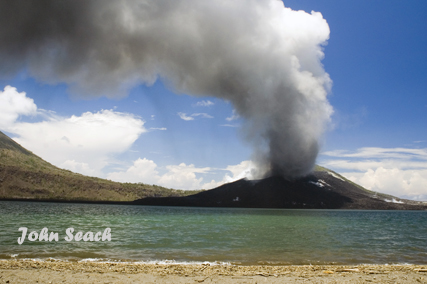
Rabaul volcano eruption 2009
Rabaul volcano 2007
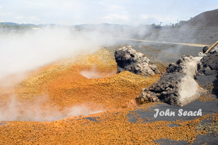
Solfatara, Rabaul volcano
Rabaul eruption 2007
Rabaul volcano eruption 2009
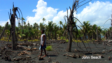
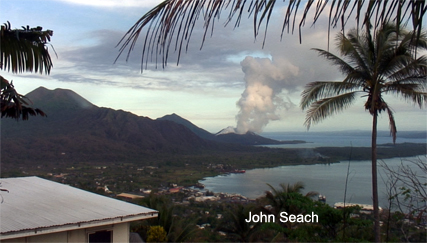
Rabaul volcano eruption damage 2007
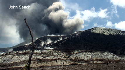
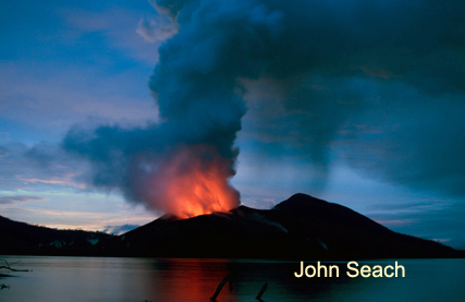
Rabaul eruption 2009
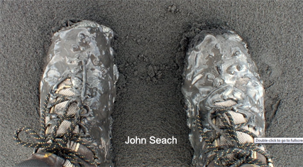
Volcanic mud, Rabaul volcano
Rabaul has had major eruptions 3500 and 1400 years ago. An eruption of Rabaul in 1994 destroyed Rabaul city, the largest town on New Britain Island. Eruptions severely affected Matupit Island in 2008-09, forcing most of the population to relocate to safer areas.
Eruptive vents in Rabaul Caldera include; Turanguna, Tavurvur, Rabalanakia, Sulphur Creek, Kombiu (mother), and Beehives.
Seismicity at Rabaul volcano
Earthquake activity at Rabaul caldera increased in 1971 and
continued for 23 years before the volcano finally erupted in 1994.
This example that shows seismic activity can be used as an indicator
of future activity, but cannot predict the time frame.
Further reading
Johnson, R.W., 2013. Fire Mountains of the Islands: A history of volcanic eruptions and disaster management in Papua New Guinea and the Solomon Islands. ANU E Press.
Rose, W.I., Delene, D.J., Schneider, D.J., Bluth, G.J.S., Krueger, A.J., Sprod, I., McKee, C., Davies, H.L. and Ernst, G.G., 1995. Ice in the 1994 Rabaul eruption cloud: implications for volcano hazard and atmospheric effects. Nature, 375(6531), pp.477-479.
Heming, R.F., 1974. Geology and petrology of Rabaul Caldera, Papua New Guinea. Geological Society of America Bulletin, 85(8), pp.1253-1264.
Rabaul Volcano Eruptions
2014, 2013, 1994-2011, 1943, 1941-42, 1940, 1937, 1878, 1850?, 1791, 1767.